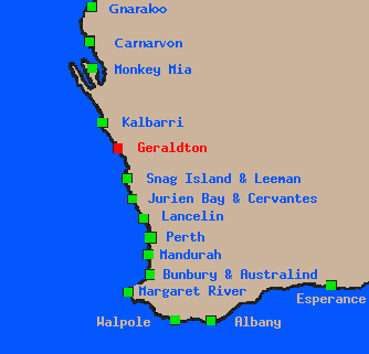
Geraldton
 eraldton lies about 400km north of Perth. Geraldton is an major port for
the central west coast. It is quite a large city, with a population
of 20,360.
The coast generally faces West, into the Indian Ocean, and most of the sailing
is done on beach and possibly reef breaks.
eraldton lies about 400km north of Perth. Geraldton is an major port for
the central west coast. It is quite a large city, with a population
of 20,360.
The coast generally faces West, into the Indian Ocean, and most of the sailing
is done on beach and possibly reef breaks.
This
photo 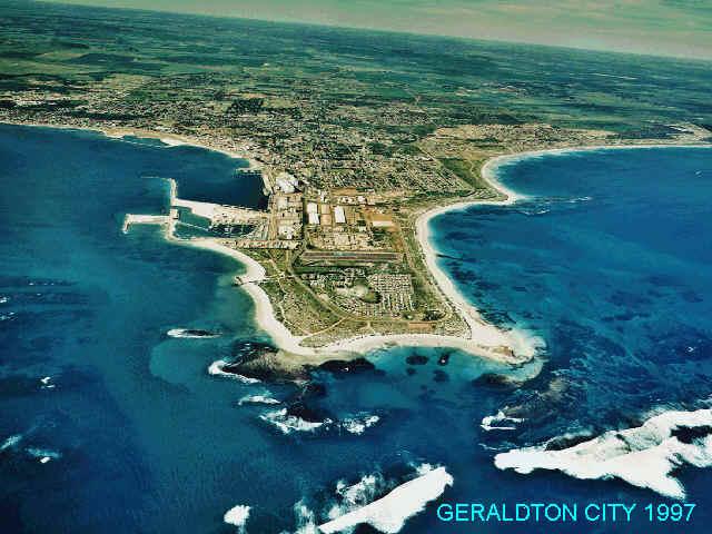 was originally on the Geraldton Sailboarding club
site, which unfortunately I cannot find any more. It shows the city of Geraldton, taken from the
air from the south.
was originally on the Geraldton Sailboarding club
site, which unfortunately I cannot find any more. It shows the city of Geraldton, taken from the
air from the south.
Being north of Perth (and Lancelin) it is generally hotter than either of these places, and the sea breeze is stronger, at least than Perth, and to a lesser extent than Lancelin. Also, arguably, the surf is smaller than Lancelin, as it often seems that the surf decreases in size the further you go North.
This diagram shows a broad map of the city of Geraldton. The main sailing spots on this map are from South to North, Separation Point, Point Moore, Bluff Point and Sunset Beach.
Here is a google map of Geraldton with some points of interest marked.
One of the major spots for sailing, and in my estimation one of the best spots that I have sailed in Australia is Coronation Beach. Coronation is not shown on this map as it is further north.
There are many things to do in and around Geraldton when the wind isn't blowing. The Geraldton Visitor Center web page details a lot about the area and the attractions.
One recommendation however would be to see the film of the Batavia Mutiny at the Geraldton Maritime Museum and then do the flight out to the Abrolhos islands with Shine Aviation (Abrolhos fly and flipper tour). The Batavia Mutiny is a great story, and the trip with Shine really complements the experience. You can see the whole area of the saga from the air, land on one of the Islands and do some great snorkelling (with lunch provided).
| Previous | Home | Next | ||
|---|---|---|---|---|
| Lancelin | Weather |